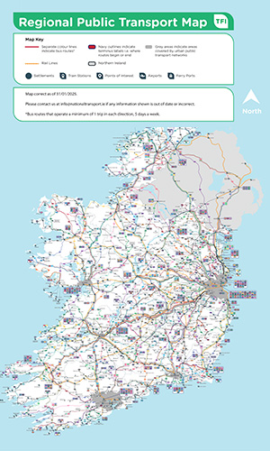
TFI Regional Public Transport Map | City Services | Town Bus Services | TFI Local Link Services | Six Wild Atlantic Way regions
Explore Ireland’s regional transport network with our interactive map. It includes:
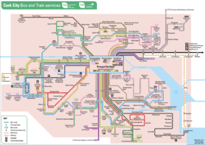
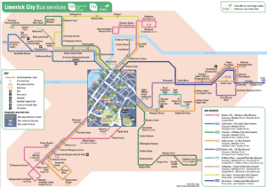
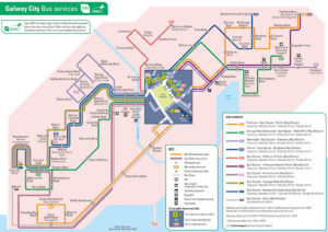
Discover public transport options in Ireland’s major cities:
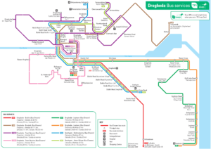
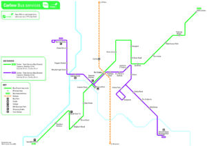
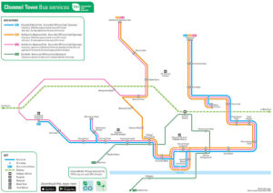
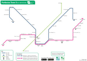
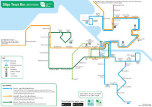
Find town bus service maps for:
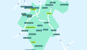
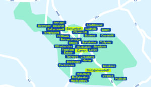
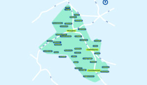
TFI Local Link offers accessible bus services across rural Ireland.
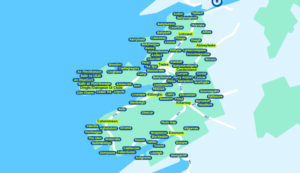
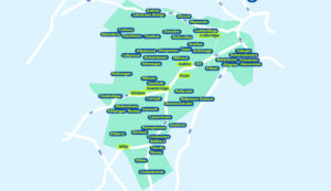
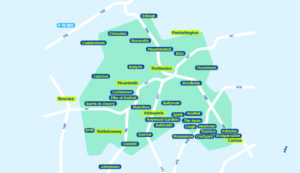
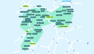
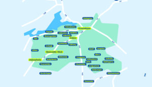
View route maps by region to find services near you.
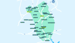
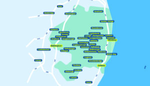
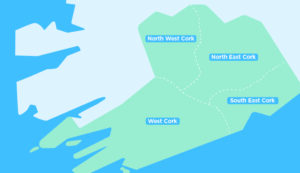
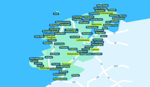
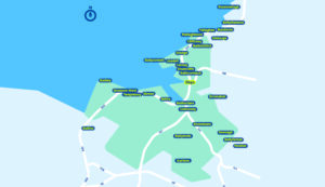
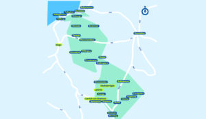
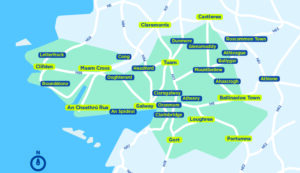
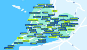
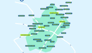
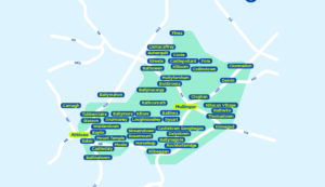
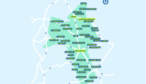
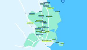
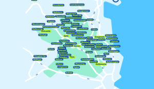
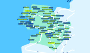
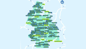
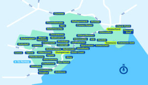
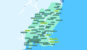
Travel the stunning Wild Atlantic Way with ease.
Our maps cover six regions along the route, showcasing:
TFI Regional Public Transport Map | City Services | Town Bus Services | TFI Local Link Services | Six Wild Atlantic Way regions